Showing posts with label trolley. Show all posts

Saturday, April 30, 2011

Walk 49: Milwaukie/Oak Grove Trolley Trail (8 miles)


This long walk sounded pretty cool at first: It traveled a former trolley line that existed from 1893 to 1968 (the last 10 years as a freight service), and I could trace the history of the trolley as I made my way along the 4 miles each way from Milwaukie to Oak Grove.

The trail began at SE McLoughlin Boulevard and Park Avenue, getting off to an inauspicious start by passing an auto body yard with some trashed police cars and an unmarked narrow trail that I wasn't sure was the Trail or not...


But before long I came to a sign that assured me I was on the right "track."


The trail soon led out onto Arista Drive (no relation I assume to the record label which brought us the Alan Parsons Project, among others). The road was under construction, so no sidewalk along this section, and I had to alternate from side to side to avoid various large equipment and traffic.

The book explained that I was passing by various historical landmarks like notable trolley stations, a sanitarium and a general store, but little evidence remained of these interesting spots now.


Unfortunately, as the Trail picked up again, things didn't improve much, as the ground was somewhat muddy and chewed up.


At Rupert Drive, an approximately 15 foot stretch of trolley tracks surfaced. It turned out that this was the only visible evidence of the actual tracks along the entire trail. That was a bit of a letdown!


It was there I discovered that the ground was being actively dug up, which I soon realized was part of a major construction to convert the entire trail into a biking/pedestrian path. Bad timing on my part! At this current moment it was a long, rocky and muddy terrain, forcing me to move off to the side roads for long stretches. Judging by this artist's rendition, it will be quite lovely when it's completed. Can't tell if it'll be paved or not, though.


The road however eventually came to a stop and I was back on the path, which then passed between some closely packed housing (and trailers), then leading to a narrower, but nicer, gravel/grassy path, and finally again out to paved streets with, for the first time, a sidewalk, although this one was a little wobbly.


The turnaround point came at Glen Echo Avenue, at Camp Fire USA. (Headquarters? A quick Google search just turns up "Retreat Center."


Well, this walk was more than a bit melancholy. Eight miles total and only about 15 feet of the original tracks still visible. As the line has been discontinued for only 43 years, I would've thought more of it would still be apparent. I felt like the boy from Ray Bradbury's Martian Chronicles, who asks "Where are the Martians?"

The truth is, the trolley trail isn't really here anymore, and when the construction is complete, the trail will be something new and different; something of the 21st century.

Sunday, March 20, 2011

Walk 38: 4T – Trail, Tram, Trolley & Train (4.5 miles)

I gotta admit, this alliterative walk surprised me. Looking at the book, I thought, "Four mile walk, then ride back to the start? Easy!" But this four mile walk is a bit more challenging than a flat, city street four mile walk. It's a 600 foot elevation gain from the Oregon Zoo to the OHSU tram, made much more difficult by the nearly nonstop muddy spots on the trail. This hike will be a LOT easier in the summer!

I started by parking at the zoo, behind the Max station, conveniently ignoring the sign that said "NO PARK AND RIDE." Hey, I was parking and walking (then riding)! Here's the map that shows the four sections of the four T's: (Marquam) Trail, (OHSU) Tram, (Portland Street Car) Trolley, and (MAX) Train.


I walked downhill past the Children's Museum, where I saw my first well-marked 4T Trail sign, then crossed Highway 26 (aka "Sunset Hwy"), and just before entering the freeway on the right side, headed uphill on a never-before-noticed-by-me side trail.


I soon saw a quite muddy spot, the first of many, many sections that I would have to step around, or hop over, which eventually built up enough momentum that I started running along the trail just to make it easier to keep hopping over these (more on that later).


After the first major elevation gain, approximately 2 miles into the walk/hike, the trail opened out onto Patton Road near the intersection with Talbot. I've driven by this intersection hundreds of times but never knew there was a trail lurking here!


Turning up Talbot, I soon rejoined the trail and continued on up to Council Crest, where I was treated to my first good view of the city (albeit slightly foggy/cloudy, which is the norm for this time of year).


On the other side of Council Crest I headed downhill on the Marquam Trail, breaking into a run, partly because I was leaping over so many muddy spots it encouraged me to do so, and partly because it was just fun to run on the soft soil (easy on the knees!).


Eventually I reached the Marquam Shelter, with a small amphitheater setting for a potential picnic spot.


Turning again uphill and heading toward OHSU, this is where the climb started to get to me. I had been jumping over mud, slipping in the wet, and stepping on or around washed away rocks for several miles now, and I was starting to feel some serious fatigue in my legs. Just as I was in need of a long break, I arrived at the OHSU campus, anticipating a relaxing ride down to the bottom of the hill.


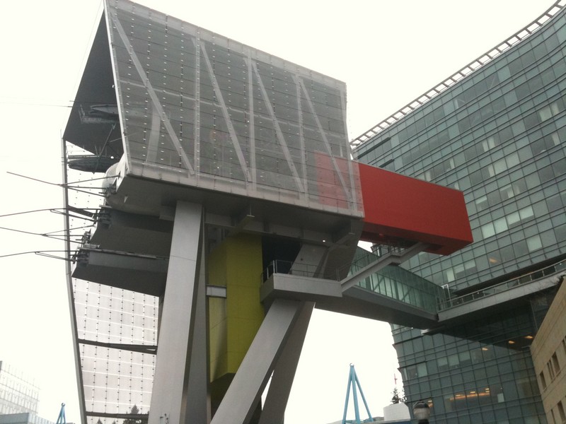
But as I walked through the campus, I realized I didn't know where the tram entrance was. As I turned a corner, I saw that I had walked to the road below the tram, looked up and mouthed "Oh CRAP!" One more trudge up three flights of stairs to the much desired restful journey downtown. What an impressive structure though; glad I got to see this view at least once.


As I got inside the tram, I was treated to a beautiful view, and a slightly exhilarating ride:


Once at the bottom, I hurriedly made my way to the streetcar ("trolley"), which soon pulled away toward my MAX Train destination. I gotta say, though, this trolley takes its sweet time! I think I could've gotten there sooner just walking the route, if my legs weren't so burnt out from the trail walk/run.


I hopped off the trolley at 10th and Alder and waited just a few minutes before the MAX train arrived, which took us through the tunnel to the Oregon Zoo stop. This is a cool spot, as it's 260 feet below the surface. A quick elevator ride up and I was back at my car.


This adventure turned out to be a lot more interesting than expected. The trail is quite a workout and there are plenty of places downtown to stop when I return (hopefully with family) when the weather gets drier, grab a bite to eat and enjoy the fruits of the trip. Maybe then my shoes won't get quite so muddy!